
Drone Mapping and Photogrammetry
How Does Drone Mapping and Photogrammetry Work?
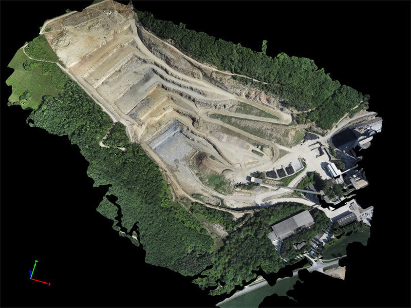
The first step is to send out an aerial drone to capture batches of high-resolution photos over a chosen area. The images are then overlapped to ensure the same point on the ground is visible from numerous photos and varying points of view.
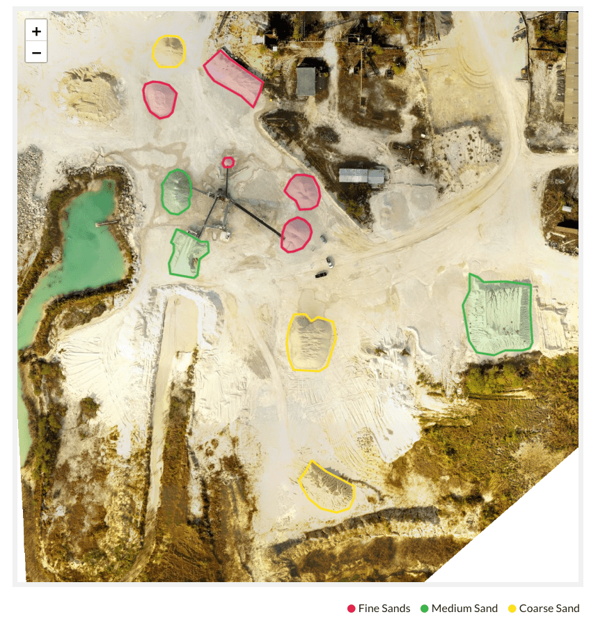
These images are then used to create a high-resolution 3D reconstruction. These reconstructions can contain elevation and height information as well as shape and texture for every point on the map.
Photogrammetry is useful in a range of different industries to record, measure and identify complex areas. Aerial drone photogrammetry is cost-effective and flexible with its capabilities to capture high-quality data.
No-obligation, free consultation
For any enquiries book a consultation to receive a free no-obligation consultation and learn more about how Taz Drone Solutions can start helping you today.